Canyons and Chefs
#wildlygourmet
culinary offerings for the wild of heart, the passionate of soul, and the discerning of palate
based in northern Colorado, traveling the west and the world
Featured Experiences
- All Posts
- Featured
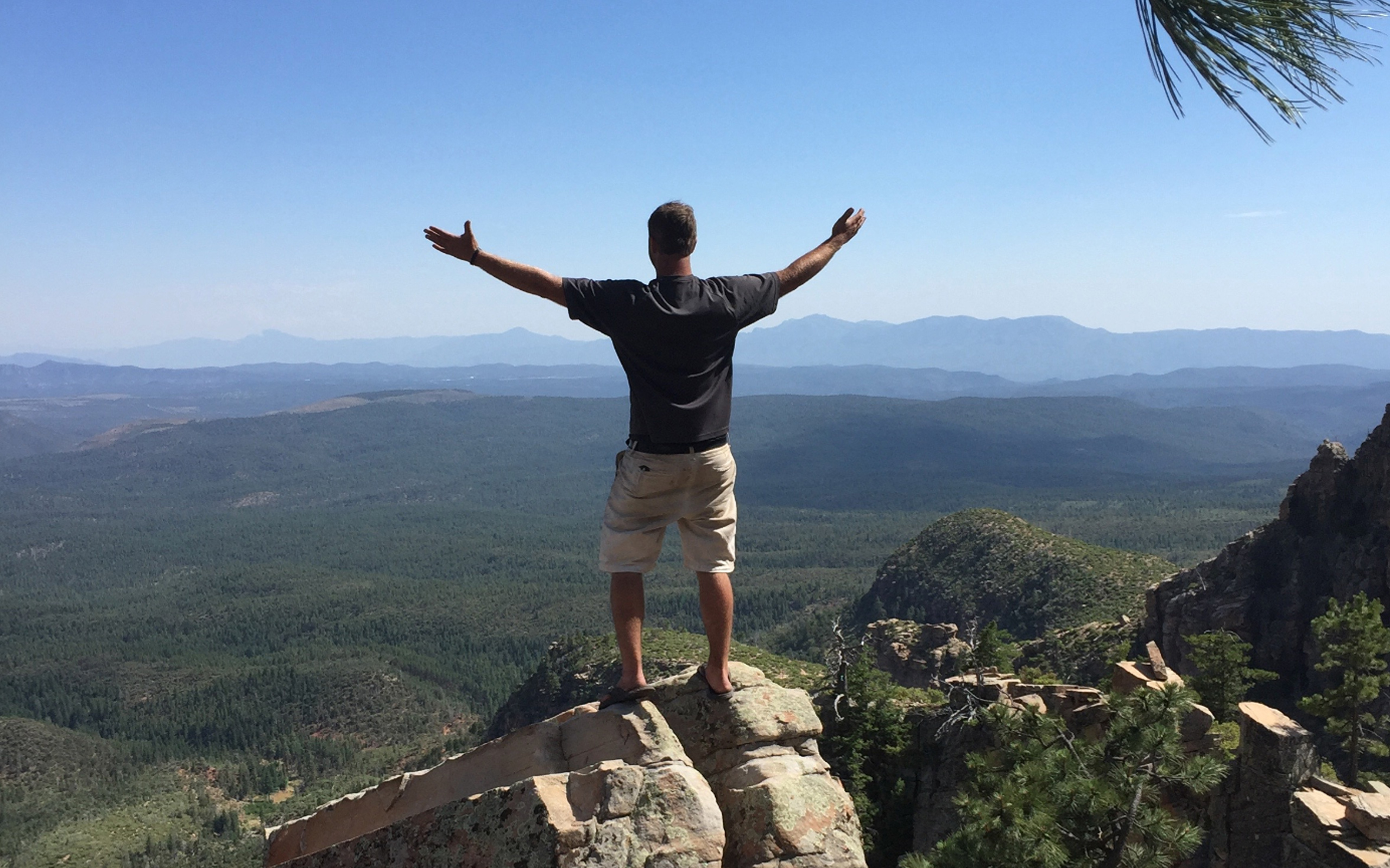
Foodie Hiking Adventures Take a delicious hike Embark upon a… Read more
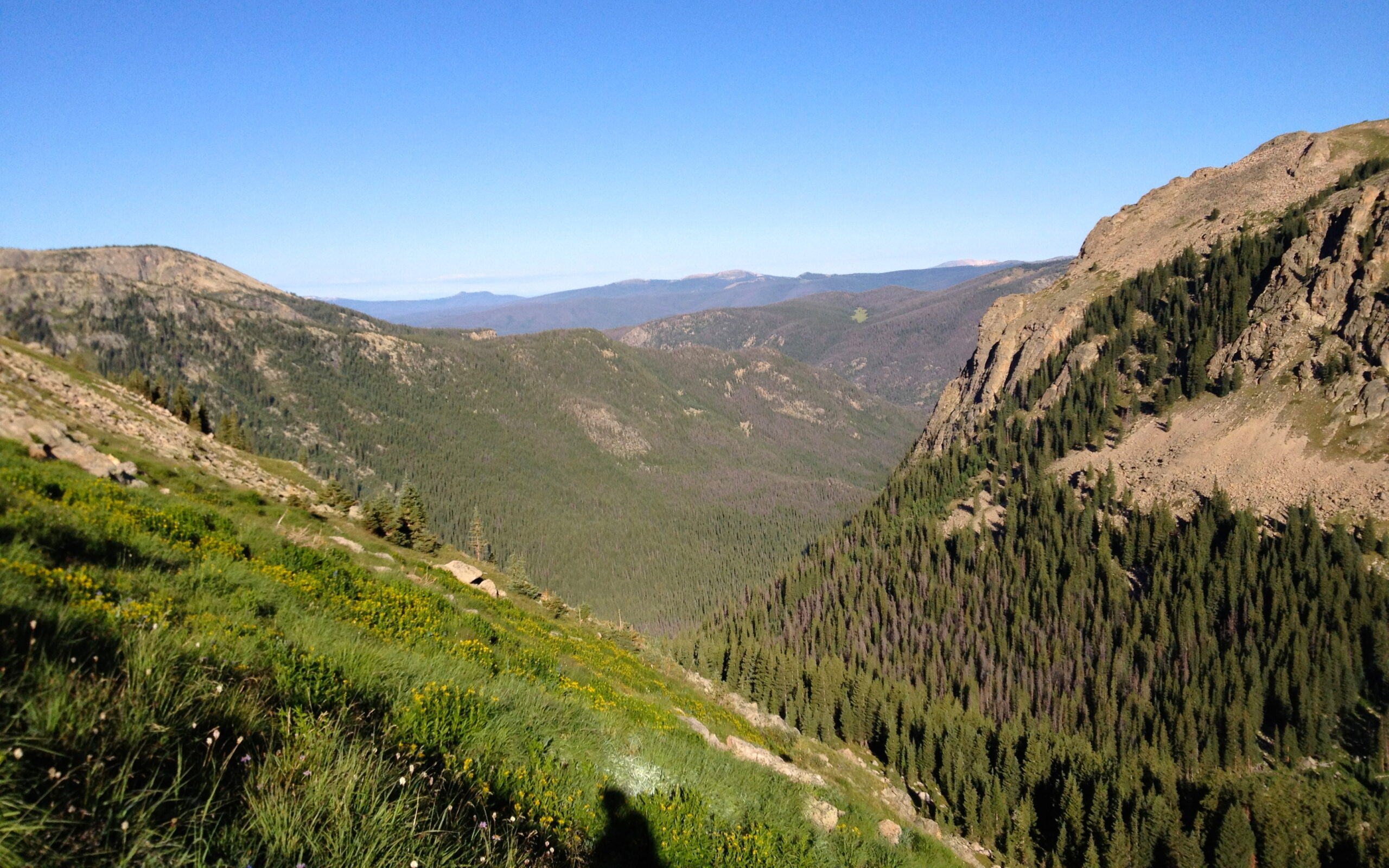
Guided Rocky Mountain National Park Backpacking Experience the best of… Read more
What we offer
Private Chef and Boutique Catering
Weekly Family Meals
Foodie Adventures
Elevated Wild Backpacking and Glamping
The Wilderness Provisions Store
FARM TO FIRE Supper Club
Cannabis Infused Experiences
snr director of sales, abercrombie & Kent
“All of our experiences with Canyons & Chefs have been seamless from planning to execution! Every last detail is carefully thought out, down to the time of sunset. The team has wowed our guests with exquisite cuisine in the most stunning settings. These experiences make for the perfect WOW ending to a journey!”
Subscribe to our newsletter
Canyons & Chefs
Private Chef - Adventure Culinary - Wilderness Provisions
offering delectable food and adventure experiences in the following areas:
Colorado:
Front Range Cities — (Denver, Fort Collins, Boulder, Loveland, Windsor, Cherry Creek, Cherry Hills)
Rocky Mountain National Park — (Estes Park, Granby, Grand Lake)
Summit County –(Breckenridge, Frisco, Dillon, Silverthorne, Copper Mountain)
Resort Towns — (Vail, Beaver Creek, Winter Park, Steamboat Springs, Telluride)
Arizona:
Sedona, Grand Canyon
Who We Are
chefs, adventurers, dreamers
Canyons and Chefs specializes in Adventure Culinary experiences that combine our two favorite things – delicious food and incredible views from the Rocky Mountains to the Desert Southwest